 World Maps Creator

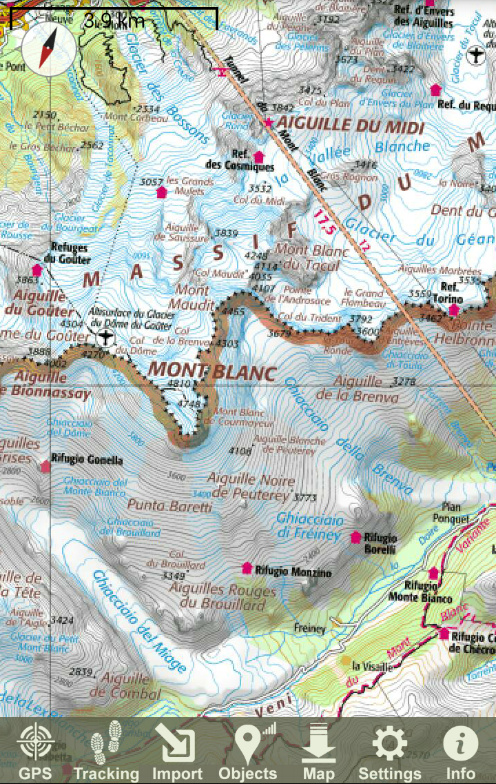


This application provides access to the most relevant worldwide interactive maps. There are several good topographical maps for Europe and US. The rest of the world is covered by Google and Open Street Maps. Your own offline maps in SQLITEDB format are also usable for this apk. Another option is to create offline maps by downloading. Offline maps work everywhere without internet connection. Created maps are usable in other apks, e. g. Locus, Orux...
Designed for hikers, bikers, moto-bikers, travelers, adventurers and for everyone, who needs perfect maps specially for outdoor activities. For serious usage without advertisements.
Navigation
The apk offers some basic and easy to use navigation functions, like import GPX track points and showing your location on the map. Although the navigation is simple, it provides all important, what you need in terrain.
Routing calculated by OpenStreetMap or MaoQuest RoadManager is implemented from ver. 2.5.0. The function is available if GPS is switched on.
Tracking
It is possible to record your track and continuously watch your passed distance, climbed up elevation and current altitude as well as a cyclocomputer. The track log can be enhanced by waypoints as pins with default bubbles, containing distance information, altitude, time stamp and optionally photo.
POI
Points Of Interest retrieved from Open Street Map POI database.
Countries covered by this apk
Europe:
Map1.eu, Austria (3), Bulgaria, Czech (2), France (2), Germany, Hungary, Italy (2), Norway, Poland, Romania, Slovakia (5), Slovenia (2), Spain (2), Swiss (2), UK
World:
New Zeeland, Israel (2), US (2), ArcGIS, Google, OSM, Outdoor
Note:
Because of possible changes on the map servers, it can happen, that a map is working today, but does not have to work tomorrow. In such case, please, contact author.
Also suggestions to include new maps are appreciated.